240526040018.jpg)
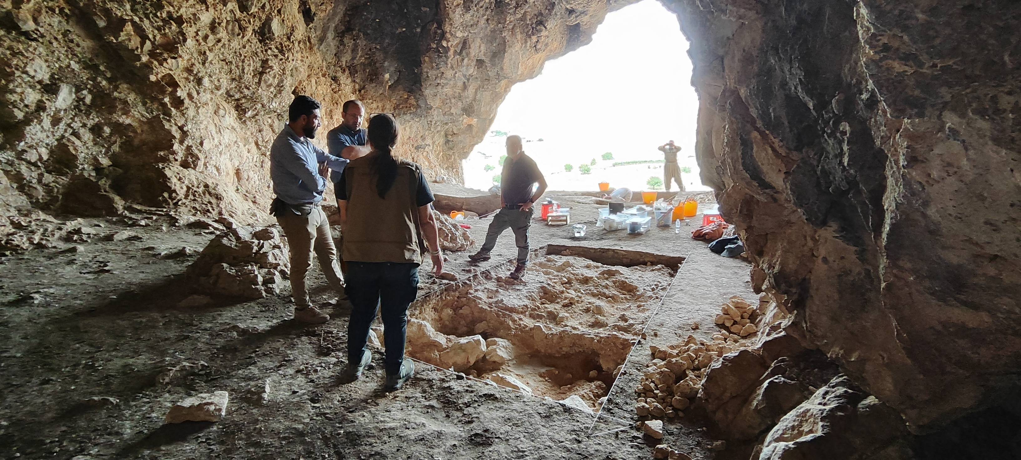
Grdi Kani Shaie, excavations provided the first stratigraphic sequence for this previously unexplored region
Grdi Kani Shaie, excavations provided the first stratigraphic sequence for this previously unexplored region.
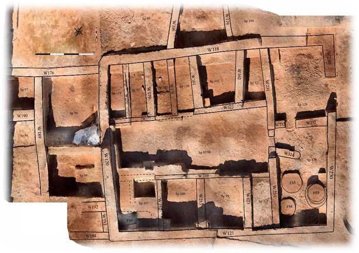
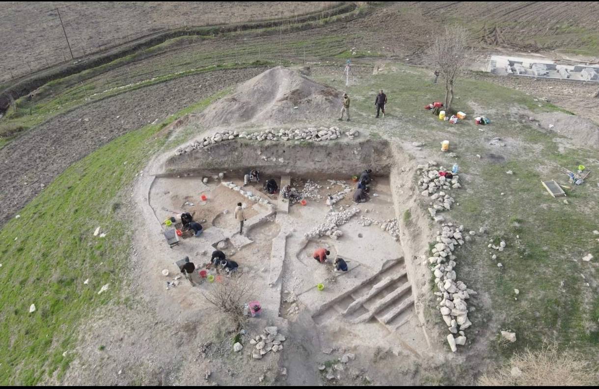
Kani Shaie is a site located in the Bazian Valley that has been excavated by the University of Coimbra, with many collaborations since 2013. This 60m diameter mound revealed continuous occupation from the Ubaid period in the 5th millennium BCE to the Early Bronze Age in the 3rd millennium BCE.
Excavations documented 2500 years of occupation in a step trench on the southern slope. Horizontal excavations on the northeast quadrant reached Early Bronze Age levels. While the mound saw repeated use until modern times, it was abandoned except for temporary 11th-12th century and 19th century activity. Excavations provided the first stratigraphic sequence for this previously unexplored region and an impressive numerical tablet from the Uruk Period.

