language
En Ku Ar

Image Title calendar2024-01-28

Archäologisch-geophysikalische Prospektion am Rande des Zagrosgebirges in Kurdistan

Im Rahmen eines Forschungsprojektes begab sich ein bayerisches Prospekti onsteam im Oktober des vergangenen Jahres auf eine Forschungsexpedition in den Nordostirak, genauer in die süd kurdischen Provinzen Sulaymaniyah und Halabjah. Hier in der Shahrizor Ebene, nahe der irakisch-iranischen Grenze, sollten an drei Fundorten Un tersuchungen durchgeführt werden.

Image Title calendar2024-01-11

The testing trench is located on the Bnawasuta-Penjwen project

The Directorate of Archeology and Culture of Sulaimani continued their work and activities by conducting a test trench excavation in an area of 17 dunams in front of Bashmakh international gate, approximately 600 meters away.

Image Title calendar2024-01-29

Excavations at Shaikh Marif, Iraqi Kurdistan Preliminary Report of the First Season (2022)

Grdi-Shaikh Marif The archaeological site of Shaikh Marif, located in the Shahrizor Plain ca. 500 m south of Gird Shamlu along the Wadi Shamlu, was registered by the Iraq Museum in 1943. In November 2012, the Shahrizor Survey Project additionally identified several new artificial mounds near Shaikh Marif. Among them, a cluster of two tiny mounds is called, together with Shaikh Marif itself, “Se Tapanسێ تەپان ” by the local people, and thus all three mounds were designated “Shaikh Marif”: Shaikh Marif I (the original northern mound), Shaikh Marif II (a western mound also called “Ash Shaikh Marif” by the locals), and Shaikh Marif III (an eastern mound). The land is seasonally cultivated today, and the water of the Darband-i Khan Dam Lake occasionally covers almost entire areas of the mounds. Owing to modern cultivation and the erosion by flowing water, a large amount of archaeological materials were easily observed on the surface. While no prehistoric material was identified at Shaikh Marif III, numerous Late Neolithic potsherds were scattered across the other two mounds as well as the materials dated to the younger periods. The date of these Late Neolithic sherds was estimated to be ca. 6400 6000 BC. A Japanese archaeological team (directed by Takahiro Odaka, Kanazawa University) excavated Shaikh Marif II in 2022 and revealed the Late Neolithic layers, which directly accumulated on the virgin soil. Most of the finds were dated to ca. 6100-6000 BC, although a small amount of the artefacts from the historical periods indicate human activities in the middle Medieval and the Ottoman Periods.

In the land of the highlanders: from the kingdom of Simurrum to Mazamua in the Shahrizor

Article Name

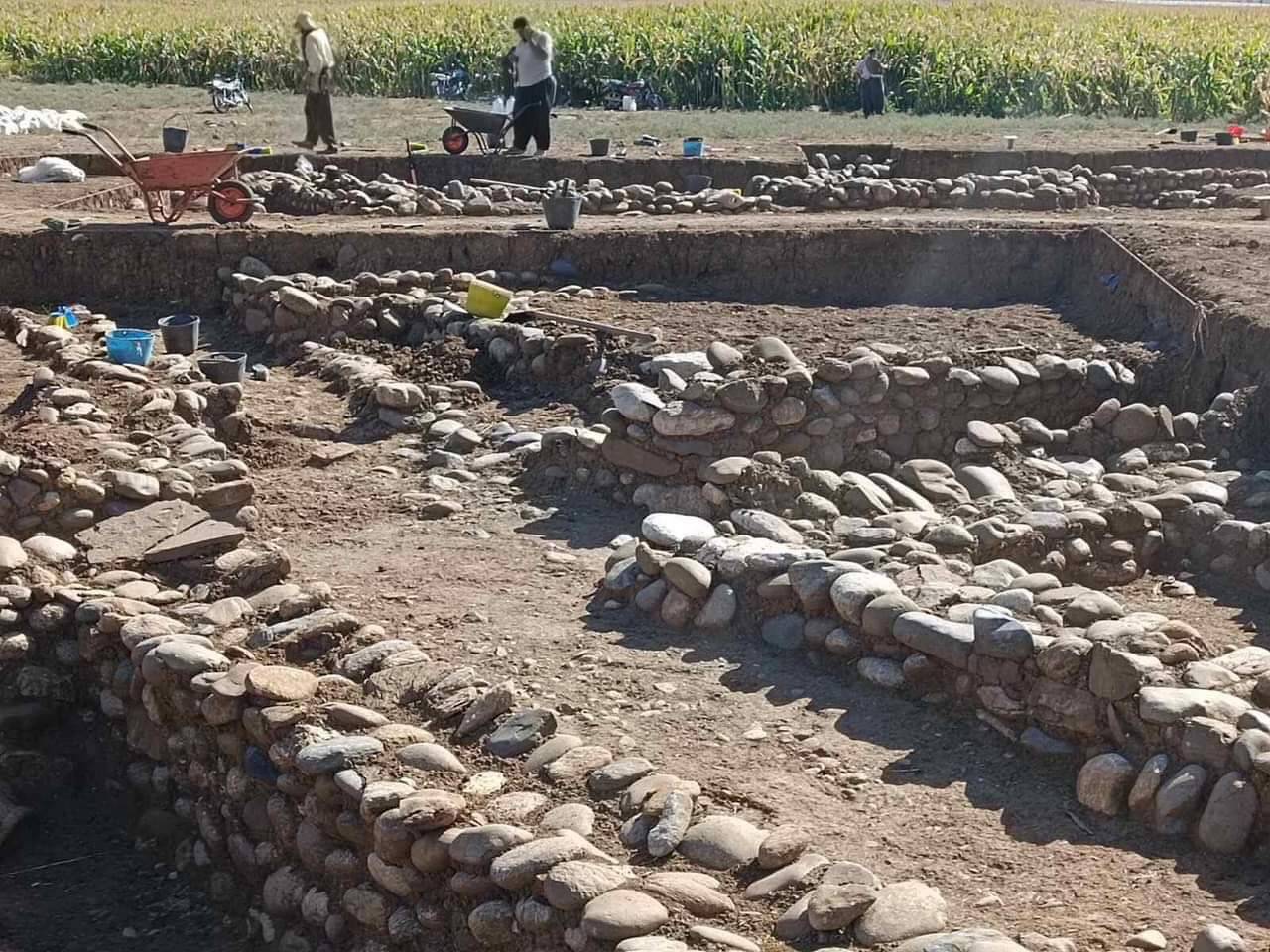
In the late third and early second millennium bc,  the large plain known today as the Shahrizor and  its surrounding region, located in the province of  Suleymaniyah in Iraqi Kurdistan, likely formed an  important region of the kingdom of Simurrum (Fig. 31.1; Altaweel et al. 2012). For much of the remaining second millennium bc and into the first two centuries of the irst millennium bc, the region was a contested border zone between northern and southern Mesopotamian kingdoms or became splintered into small kingdoms.

In 842 bc, the region became incorporated into the Assyrian provincial system under Shalmaneser III and remained part of the province of Mazamua until the fall of the Assyrian empire in the  late seventh century bc.

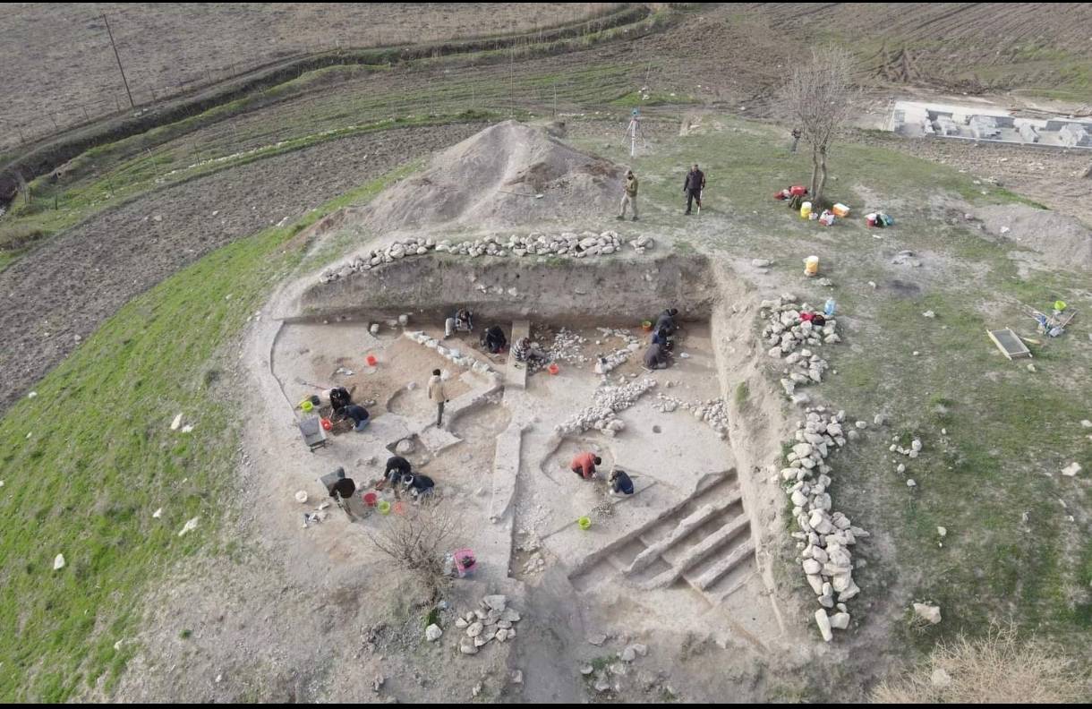
As archaeologists are now  embarking on projects in Iraqi Kurdistan, one major question that will certainly arise is how do setlements in the region transform in one period to the next under varying political and economic circumstances. While archaeological surveys will be critical in illing this knowledge gap, computational methods can be used to determine where major setlements should be generally located and what factors might cause deviations from expectations. When there are known historical shifts, such as during the Neo-Assyrian (NA) period, the same model is able to evaluate how setlement size hierarchies transform. This paper presents such a method and demonstrates how major sites, such as Yasin Tepe and Bakr Awa, could arise, while also presenting a method for assessing how sites transform between minor and major setlements and the interactions that enable such transformations.