Issue 7
Issue 7
240128080352.png)
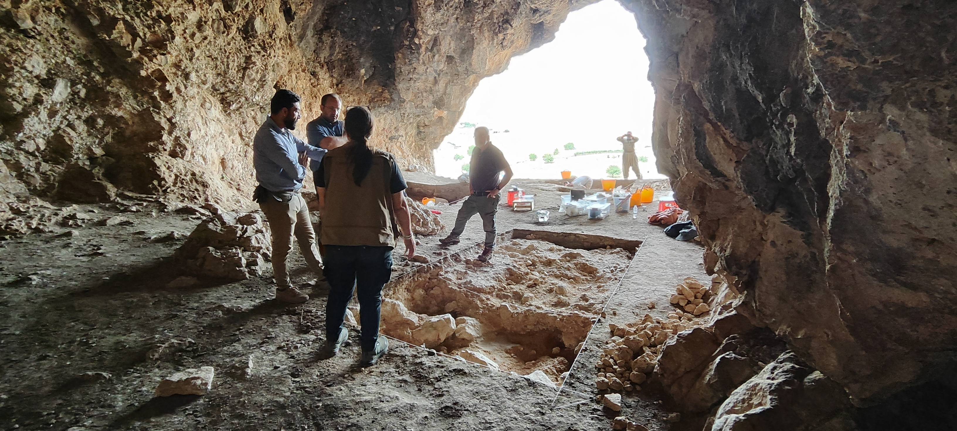
Im Rahmen eines Forschungsprojektes begab sich ein bayerisches Prospekti onsteam im Oktober des vergangenen Jahres auf eine Forschungsexpedition in den Nordostirak, genauer in die süd kurdischen Provinzen Sulaymaniyah und Halabjah. Hier in der Shahrizor Ebene, nahe der irakisch-iranischen Grenze, sollten an drei Fundorten Un tersuchungen durchgeführt werden.

Gird-î Kazhaw is located at the eastern perimeter of the large spring near Bestansur. The site consists of two mounds extending across an area of 4 ha. Mound A is only 2–3 m in height and of oval shape while Mound B reaches up to 10 m in height.
Issue 7