Some maps and data of archaeological sites in Slemani province

Some maps and data of archaeological sites in Slemani province


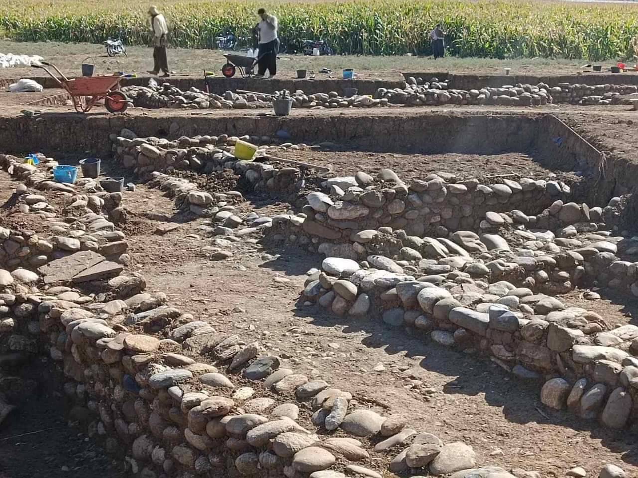
About 5 km south of the district town of Qaladze, in the Peshdar Plain on the eastern bank of the Little Zab, lie the two archaeological sites of Qalat-i Dinka and Gird-i Bazar.
Some maps and data of archaeological sites in Slemani province

Darband-i Rania Archaeological Project the Darband-i Rania Archaeological Project was a project directed by Dr. John MacGinnis of the British Museum, carried out in co-operation with the General Director of Antiquities of Kurdistan, the Directorate of Antiquities and Heritage of Raparin and the Directorate of Antiquities and Heritage of Slemani.
Some maps and data of archaeological sites in Slemani province