Issue 4
Issue 4
240128080352.png)
Im Rahmen eines Forschungsprojektes begab sich ein bayerisches Prospekti onsteam im Oktober des vergangenen Jahres auf eine Forschungsexpedition in den Nordostirak, genauer in die süd kurdischen Provinzen Sulaymaniyah und Halabjah. Hier in der Shahrizor Ebene, nahe der irakisch-iranischen Grenze, sollten an drei Fundorten Un tersuchungen durchgeführt werden.
240111033238.jpg)
The latest archaeological activity is the survey of some of the archaeological Sites in Dukan Lake. It is a joint work between the Archeology and heritage Directorates (Slemani, Raperin and Pisa University) of Italy.
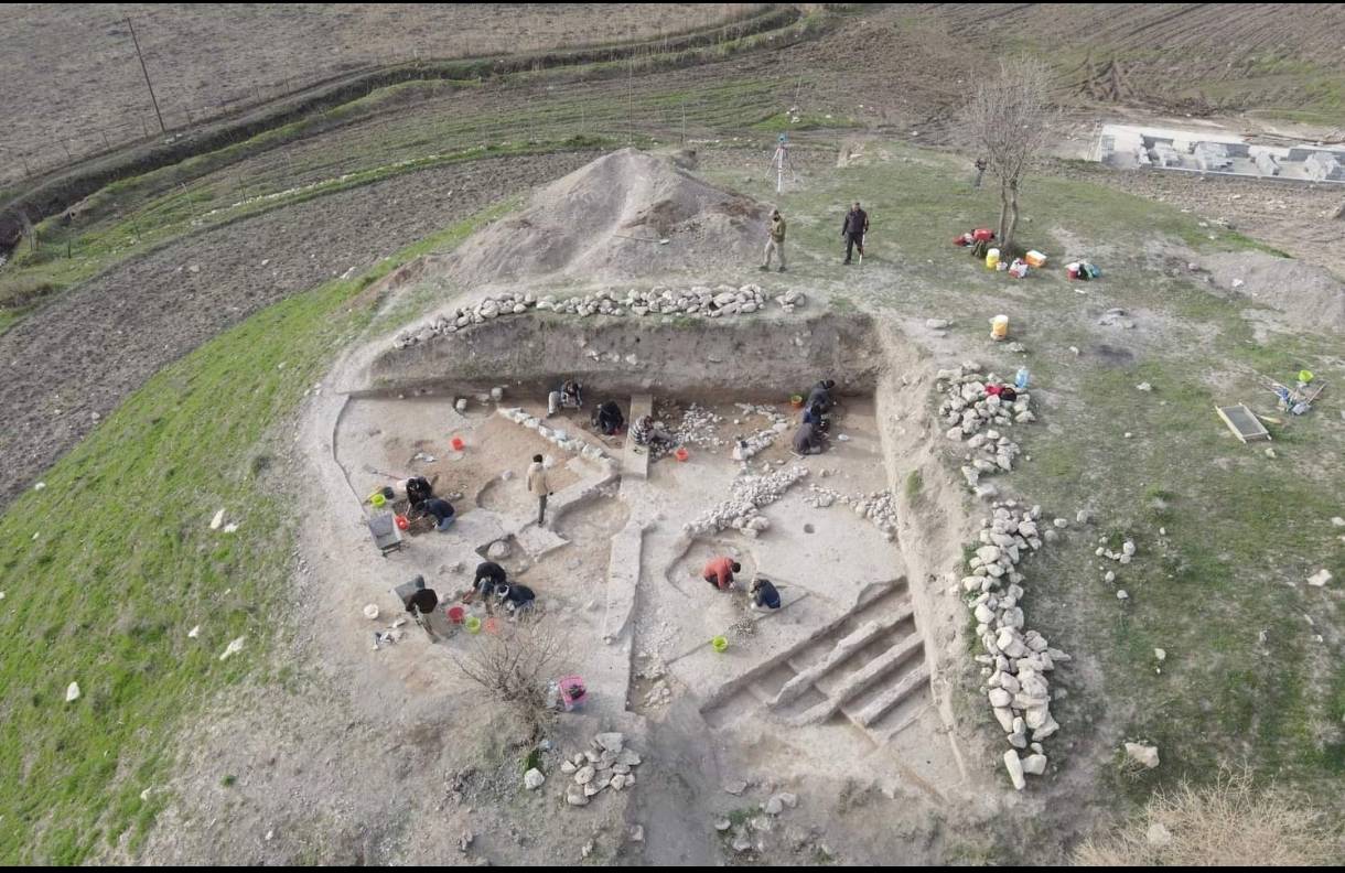
Kani Shaie is a site located in the Bazian Valley that has been excavated by the University of Coimbra, with many collaborations since 2013. This 60m diameter mound revealed continuous occupation from the Ubaid period in the 5th millennium BCE to the Early Bronze Age in the 3rd millennium BCE
Issue 4